Description
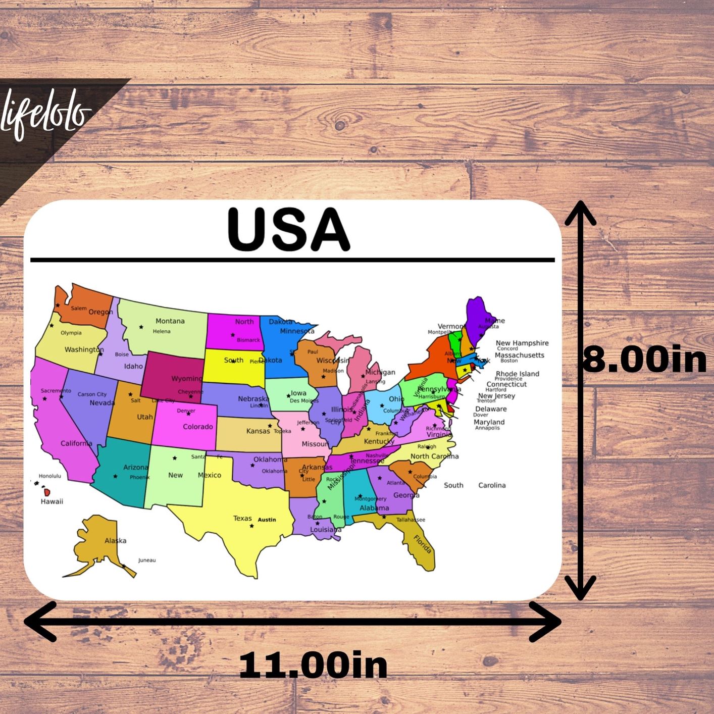
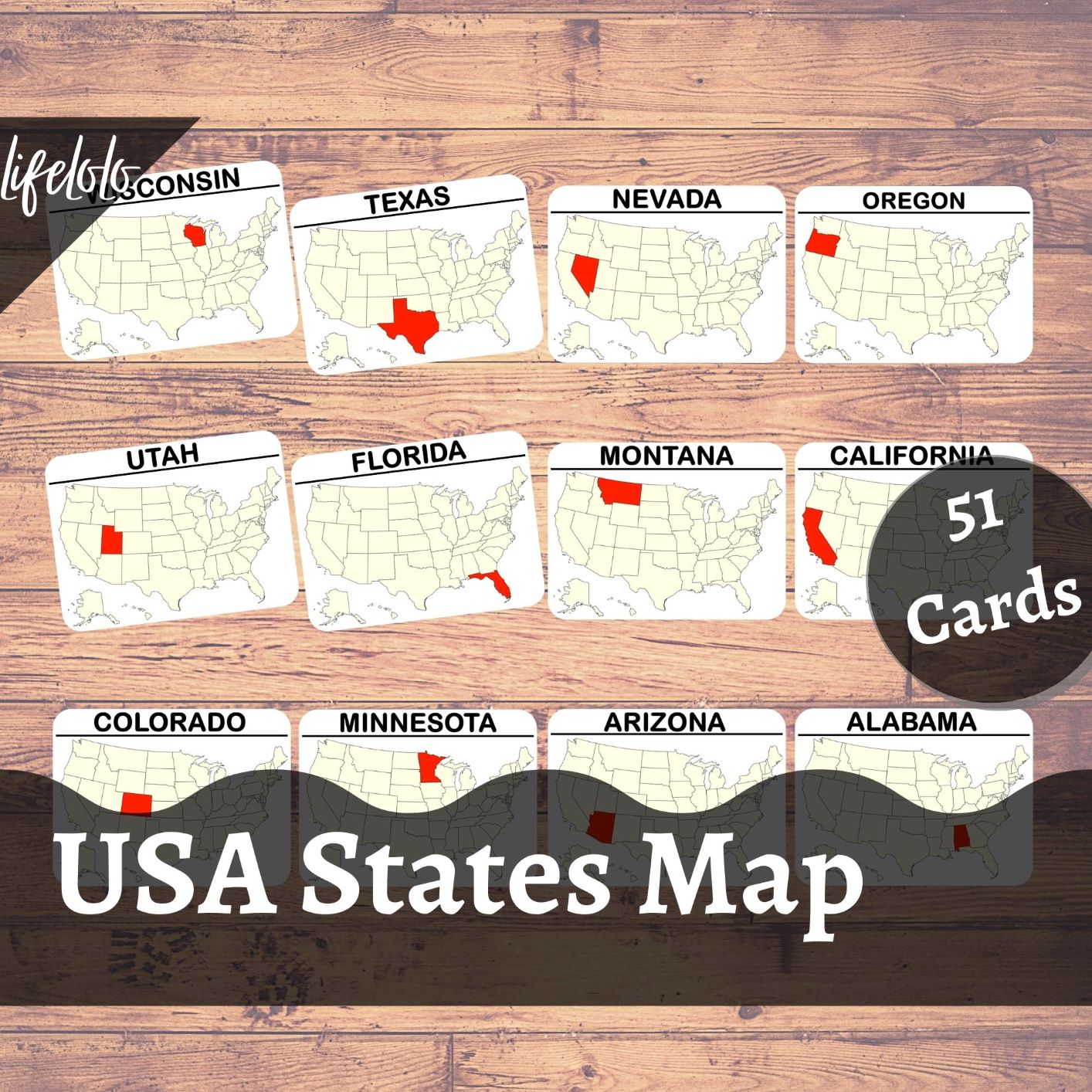
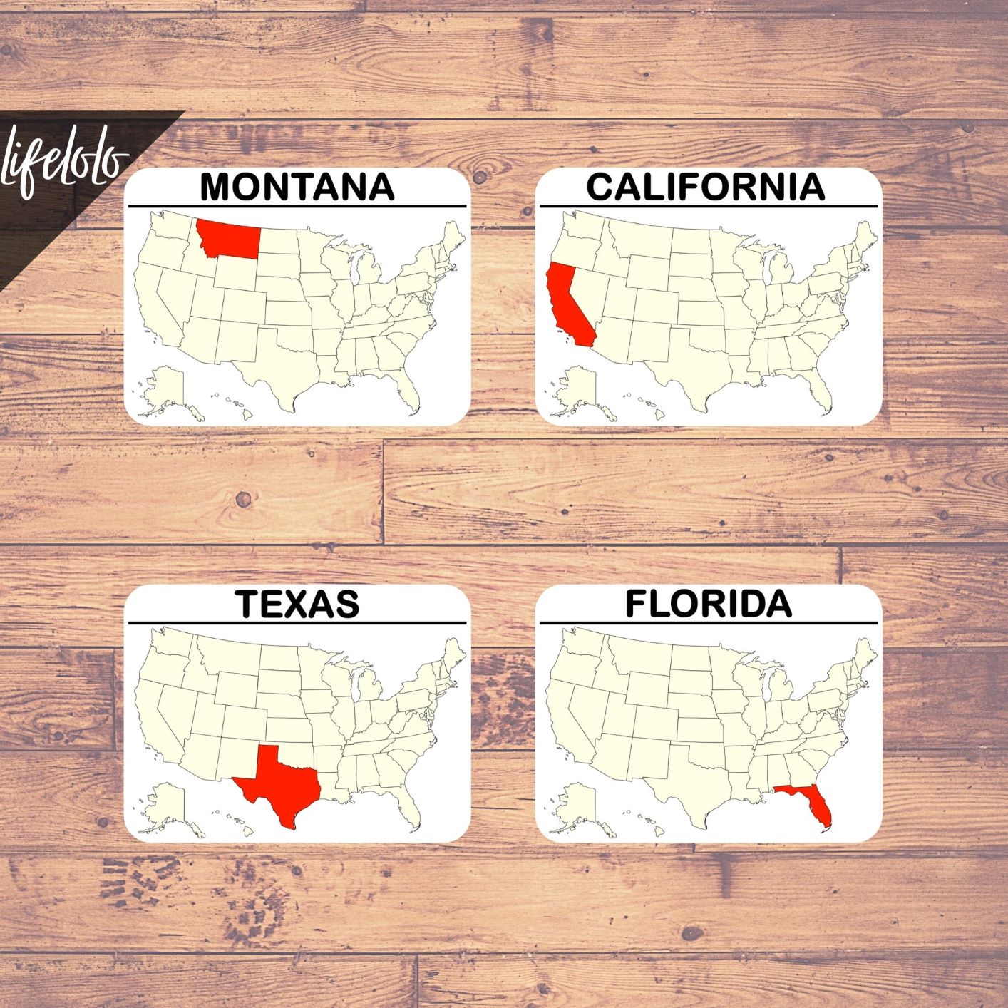
Teach map of the USA States (50 Countries + 1 Capital) using Flash Cards / Three-Part Cards.
This Montessori activity to learn the maps of states of the USA can improve learning ability of the kids to a great extent.
Includes:
51 different flash cards/three-part cards for the following 50 states & the capital of the US:
- Alabama
- Alaska
- Arizona
- Arkansas
- California
- Colorado
- Connecticut
- Delaware
- Florida
- Georgia
- Hawaii
- Idaho
- Illinois
- Indiana
- Iowa
- Kansas
- Kentucky
- Louisiana
- Maine
- Maryland
- Massachusetts
- Michigan
- Minnesota
- Mississippi
- Missouri
- Montana
- Nebraska
- Nevada
- New Hampshire
- New Jersey
- New Mexico
- New York
- North Carolina
- North Dakota
- Ohio
- Oklahoma
- Oregon
- Pennsylvania
- Rhode Island
- South Carolina
- South Dakota
- Tennessee
- Texas
- Utah
- Vermont
- Virginia
- Washington
- West Virginia
- Wisconsin
- Wyoming
Capital of the United States:
Features:
1. Digital Download-
- 1 Instant downloadable PDF File (14 pages of size 8.5in x 11in each).
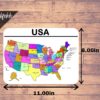
- Includes 51 Flashcards + 1 Full Page USA States Map.
- Just PRINT, LAMINATE (Optional) and CUT!
2. Laminated Flash Cards-
- Includes 51 Flashcards + 1 Full Page USA States Map.
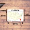
- Each flashcard measures approx. 5.00in x 3.75in.
- The printed & laminated cards will be shipped with in 2 days.
3. Laminated Three Part Cards-
- Includes 51 Flash Cards / Control Cards + 51 Label Cards + 51 Image Cards + 1 Full Page USA States Map.
- Each flashcard measures approx. 5.00in x 3.75in, label card measures 5.00in x 0.75in & image card measures 5.00in x 3.00in.
- The printed & laminated cards will be shipped with in 2 days.
Read Customer Reviews or Buy on ETSY
Instructions
Materials Needed (If purchased as a digital download):
- Printer
- Paper
- Laminator and laminating pouches (optional if not using heavy paper or cardstock paper)
- Scissors and/or paper cutter
- Round corner trimmer (optional if you want round corners)
How To Use
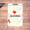
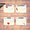
Flashcards: Use flashcards to teach the identification of maps for different states/capital of United States.
Three-Piece Puzzle: Alternatively, use the Flashcards as 3-piece puzzle where the Flashcard can be used as a Control Card to match the Label Card (State Name) with the Picture Card (State Map).
Please Share!
Show us how you are using our printable! Share your photos with us on our Facebook page or tag us @lifeloloclub on Facebook & Twitter or tag us @kidactivitieslifelolo on Instagram!
Terms of Use
All downloads and/or printable are copyrighted © lifelolo.com. All rights reserved.
Personal Use Only. No Commercial Use.
This printable is provided to you for your own personal and/or classroom use. Do not copy, reproduce, alter, modify, repackage, redistribute or sell any content from this download, in whole or in part, for any reason. Do not claim it as your own. Do not store/upload on your website or anywhere else online. Do not print it out and sell it. You are not allowed to make any money from this download. You are not allowed to create any derivative work or publicly display any content from this download (except for your personal use)
All downloads/printable are copyright protected. Not to be distributed, transferred or shared in any form.




Reviews
There are no reviews yet